

The Hydrographic Institute implements the OGC API standard.
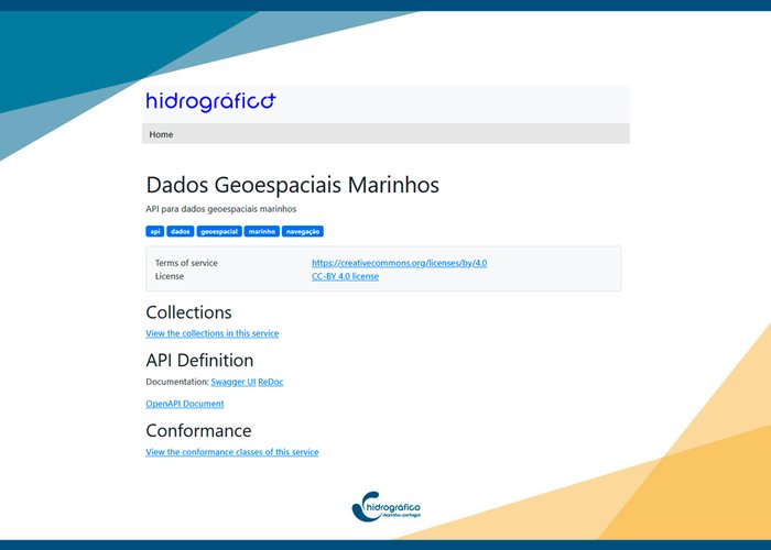
The Hydrographic Institute publishes the first layers of geospatial information in the new Open Geospatial Consortium (OGC) API Features standard.
OGC APIs represent a new paradigm in providing geospatial information, implementing best practices for data delivery on the web, facilitating data integration, and resulting in an improvement in the quality of services for querying and accessing them. In the domain of OGC APIs, OGC API Features serve as an alternative to the well-known Web Feature Services (WFS).
The information can be viewed through a web interface or an application programming interface (API).
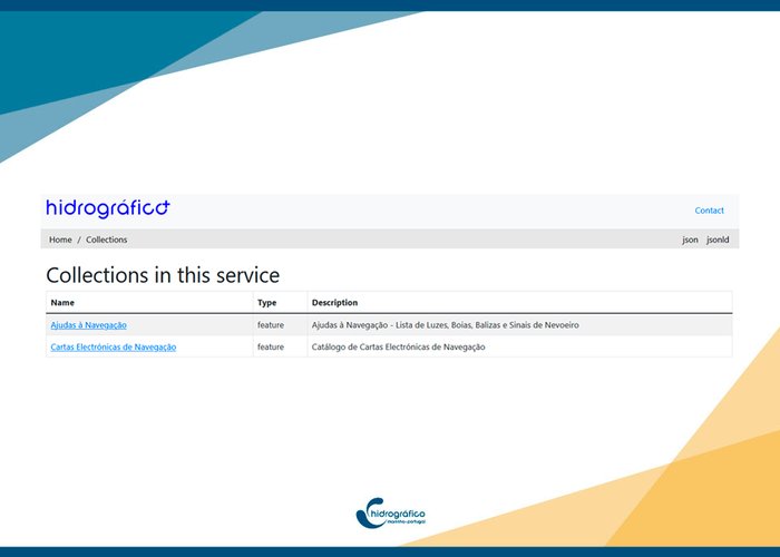
Currently, two data collections are available:
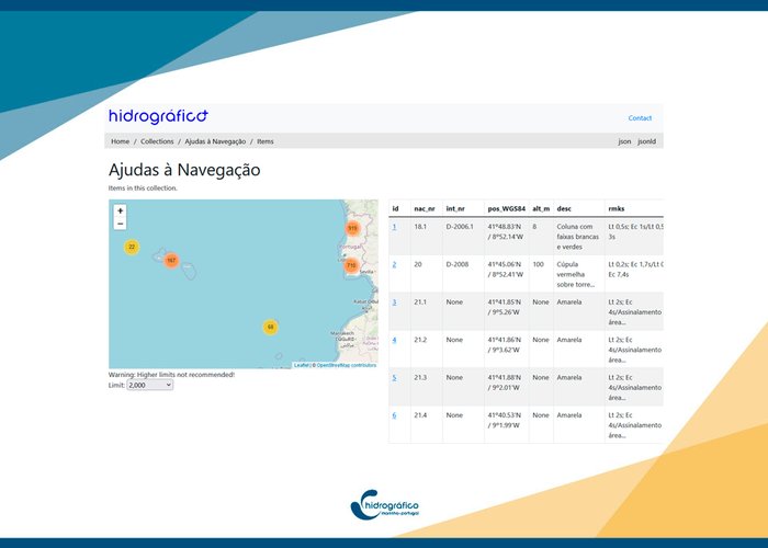
- Navigation Aids
- Electronic Navigation Chart Catalog
This development demonstrates the Hydrographic Institute's commitment to providing accessible marine geospatial information using the latest and interoperable formats.
The Hydrographic Institute implements the OGC API standard
The Hydrographic Institute implements the OGC API standard
The Hydrographic Institute implements the OGC API standard
21
2024-01-27