

Nautical Charts
Nautical cartography in force information.
NAUTICAL CARTOGRAPHY
The Hydrographic Institute published New Editions of the Nautical Charts of the Oceanic and Coastal Series of Angola - 72101, 72102, 73201, 73202, 73203, 73204, 73205.
In the compilation of the 2nd Edition of these letters, new information provided by the Government of the Republic of Angola was used, namely, multibeam bathymetry and the coastline collected based on satellite technology.
With the publication of these letters, the Hydrographic Institute is responding to the need for cartographic updating of the territories of African Lusophone Countries (PAL), highlighting the relevance of these letters to Angola in the regulation of its maritime space.
https://loja.hidrografico.pt/?product=catalogo-de-cartas-e-publicacoes-nauticas-digital
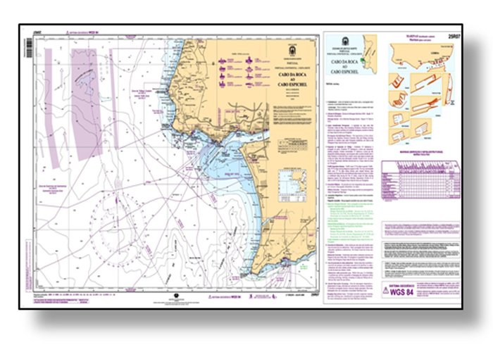
Nautical Chart (CN)
Paper product designed to meet the requirements of safe navigation. It may, in addition to the national folio, belong to the International Series - INT charts, established and regulated by the OHI (World Coverage of nautical cartography).Available through Print on Demand (POD), on a range of scales to provide appropriate levels of detail.
Electronic Navigation Charts (ENC)
Digital vector product developed according to IHO standards (S-57/3 - "IHO Digital Hydrographic Data Transfer Standard, ed.3.1.) for the safety of navigation. It is the only one that, according to Chapter V of the SOLAS Convention, replaces an NC since operating in an ECDIS approved and certified according to the International Electro-technical Commission (IEC61174:2015) standards.
CENs are marketed only through the International Centre for Electronic Navigation Charts (IC-ENC) http://www.ic-enc.org/) and authorized resellers. The catalogue can be found at https://gisportal.hidrografico.pt/arcgis/apps/webappviewer/index.html?id=0c592915e0884049b7c197bf7cbe2d91.
Electronic Navigation Charts for Inland Waters
The Inland Electronic Navigational Chart (ICENC) is a digital vector chart intended to be used in an IECDIS (Inland ECDIS), produced in accordance with the requirements of the OHI and the Inland ENC Harmonization Group.
In the national cartographic folio, the ENCS belong to UB7 and are available for free download on the IH portal.
CARTOGRAPHIC SERIES
The National Folio comprises Charts from the following Series:
Nautical Chart (CN)
Nautical Chart (CN)
SERIES
SCALE
USE
Ocean
Small
Ocean navigation between distant places.
Coastal or Approach
Medium
Navigation along the coast and approach to ports or river entrances.
Restricted Waters or Ports
Large
Navigation in harbors, rivers, bars and channels. In general, these charts are used in areas where there are strong limitations to the maneuvering of ships.
Coastal or Approach with Ports Plans
Large
For approach and navigation in ports.
Plans
Large
They aggregate several plans of ports or inlets of the same geographical area.
Fluvial
Large
For navigation in rivers or canals.
Fisheries
Medium
Cards to support fishing activity, which correspond to the CN of the Coastal series plus additional information on surface sediments and obstructions to trawl nets, as well as an auxiliary grid. They are produced in collaboration with the Portuguese Institute of Sea and Atmosphere (IPMA).
Recreation
Medium
Charts for the support of recreational navigation, with A2 dimensions and the same scale as the CN's of the Coastal series. They contain additional information about marinas and marinas in the area of the chart.
Electronic Navigation Charts (ENC)
Electronic Navigation Chart
TYPE OF NAVIGATION
USAGE BAND
Ocean or Routing (Overview)
UB1
General
UB2
Coastal
UB3
Approach
UB4
Harbour
UB5
Berthing
UB6
Electronic Navigation Charts for Inland Waters
Electronic Navigation Charts for Inland Waters
TYPE OF NAVIGATION
USAGE BAND
River
UB7
River Harbour
UB8
River Berthing
UB9
Carta Eletrónica de Navegação
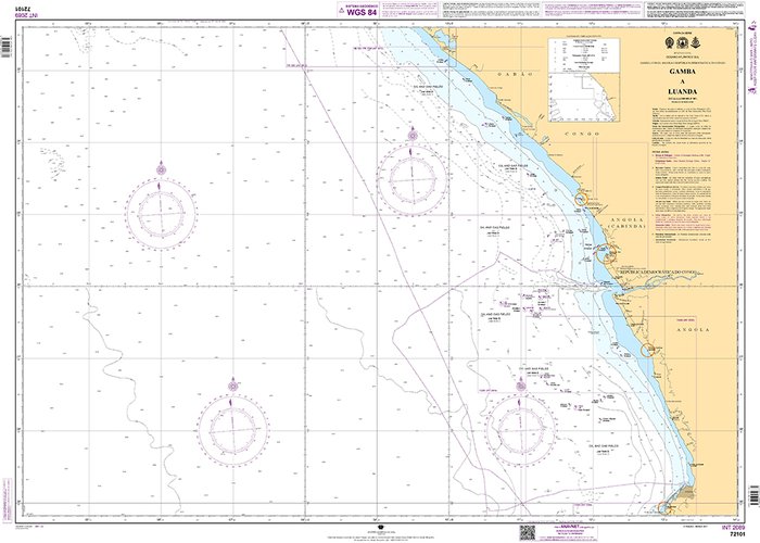
20210414-novas-edicoes-angola-1
Carta Náutica
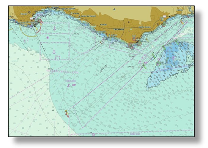
Carta Náutica - Série Aproximação
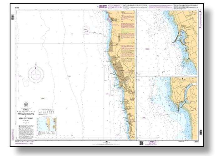
Carta Náutica - Série Recreio
2
2022-04-13