

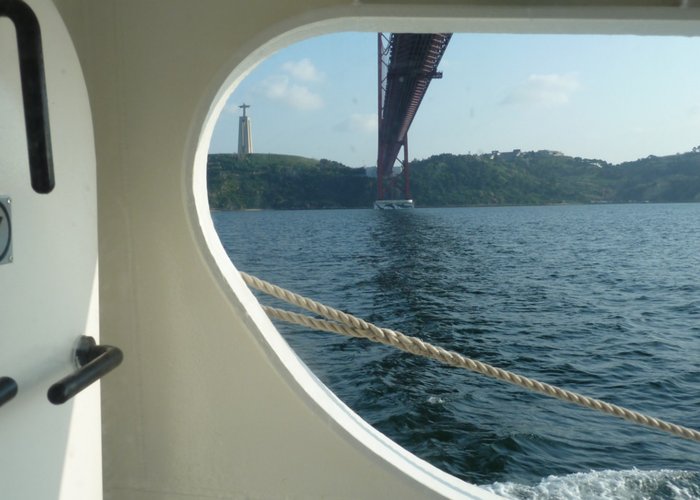
Sea Voyage Planning Service
The Hydrographic Institute has at its disposal a team of qualified experts in the elaboration of any travel plans, including internal waters, coastal or National Ocean.
This service allows Nautical Clubs and Associations who wish to organize sailing, canoeing, kite surfing, paddle surfing, wind surfing, water skiing or jet skiing events, with a trip / crossing plan with all the information pertinent to the organization of the event.
If you own a recreational, sailing and / or motor boat, and want to take a trip, the Hydrographic Institute team can also elaborate your travel plan.
To improve the satisfaction of your request, it is suggested that you place it at least four weeks in advance, in order to allow the Hydrographic Institute to propose the appropriate planning elements, the possible periodicity of updating these elements during the trip, their form of transmission and the respective costs.
Information available:
- List of nautical charts (electronic and paper) required for the trip and information about the latest updates available;
- Navigation aids available, including DGPS stations, AIS network, traffic control stations (VTS), etc.
- Information about the length of the routes between ports:
- Distances of the routes
- Average speeds
- Waypoints
- Ports of arrival, etc.
- Climatological and oceanographic information of the navigation area, namely:
- Prevailing winds
- Sea currents
- Sea and swell
- Meteorological support, namely:
- Oceanic and coastal meteorological areas (subareas), of the specific area
- Radio stations transmitting weather charts in Facsimile
- List of radio stations transmitting meteorological information
- NAVTEX Service Stations
- Weather forecast (sea and wind) for the required period
- On-line weather support
- Global Maritime Distress and Safety System (GMDSS):
- Maritime areas covered by the voyage;
- GMDSS subsystems required for the maritime areas covered;
- List of Stations and Services available;Contacts of the Maritime Search and Rescue Coordination Centers for the navigational area.v
- Information about the harbors to visit, namely:
- Location
- Description of the port
- Local climatological and oceanographic data
- Bathymetry and dangers
- Approach to the port
- Entrance to the port
- Boundaries and moorings
- Useful contacts
- Tides
- Ephemerides (birth and sunset of the sun)
- Services and facilities
- Special regulations of the port
- Time zone of the ports to practice
Servicos planeamento viagens 6

Planeamento de viagens
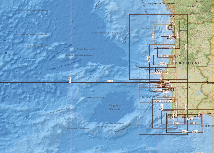
Cobertura da cartografia náutica
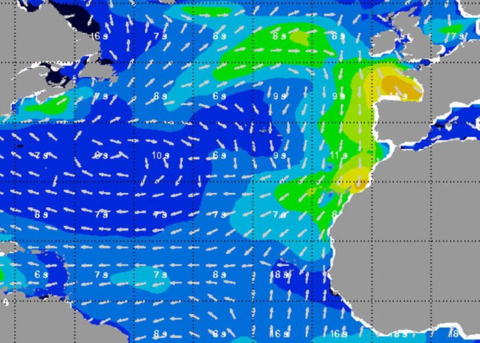
Previsão da agitação marítima
6
2018-10-10