

Training
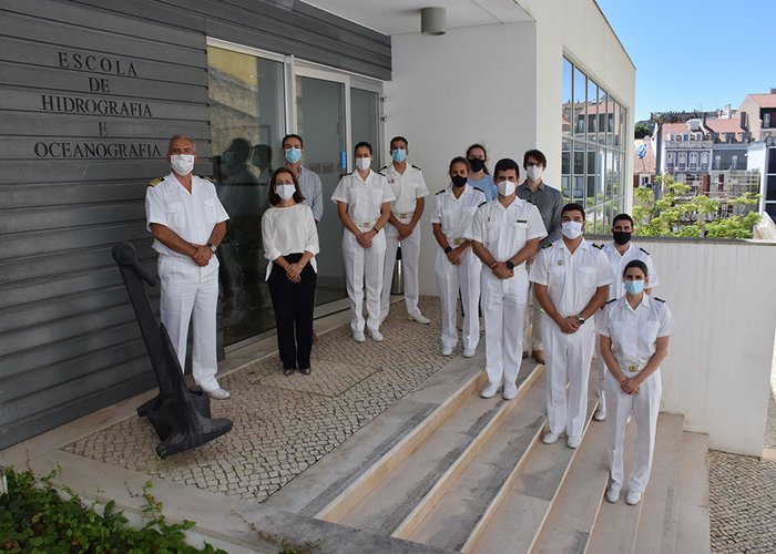
The School of Hydrography and Oceanography is a Navy Specialization School, and the department of the Hydrographic Institute dedicated to the training of Navy officers and sergeants and civilian technicians necessary for the Hydrographic and Oceanographic activities, or to these with that interest to Navy and the Country.
The School of Hydrography and Oceanography it is the only school in Portugal that teaches hydrography courses recognized by the International Hydrographic Organization, the International Federation of Geometers and the International Cartographic Association.
The Hydrographic Institute also provides curricular internships at its facilities.
Specialization Course in Hydrography
This course is one of the worldwide twenty courses recognized by the International Hydrographic Organization, the International Federation of Geometers and the International Cartographic Association with category A, the highest recognition degree.
Conditions of Admission:
- Bachelor degree in Science or in Engineering (basic training in mathematics and physics);
- Subaltern officers from the Naval Acedemy and students of the Technical Service Officers Training Course.
Total duration: 49 weeks.
Academic component:
Disciplines: Mathematics, Data Processing, Physics, Informatics, Geodesy, Geodetic Surveys, Geodesy and Hydrography Radiopositioning Systems, Angle and Distance Measurement Equipment, Photogrammetry, Hydrographic Surveys, Cartographic Projections, Nautical Cartography, Physical Oceanography, Coastal Oceanography, Marine Geology and Geophysics, Marine Oceanography, Marine Pollution, Tides, Oceanographic Instrumentation, Remote Sensing, Introduction to Marine Hydraulics, Law of the Sea - 33 weeks.
Visits: Navy units and external institutions - 1 week.
Projects of Hydrographic Surveys, Hydrographic Data Processing and Cartography: 4 weeks.
Complex Multidisciplinary Field Project: 4 weeks.
Training on board an hydrographic vessel: 1 week.
Professional Perspectives:
- Hydrographic Services;
- Universities dedicated to the marine sciences;
- Harbour administrations;
- Construction or consulting companies that carry out hydrographic, geophysical or oceanographic surveys to support maritime or fluvial hydroelectric works and the exploration and exploitation of marine resources.
Technical Course in Hydrography
This course is recognized by the International Hydrographic Organization, the International Federation of Geometers and the International Cartographic Association with category B.
Conditions of Admission:
- Completion of the regular 12 years of High-School education, including mathematics and physics;
- Navy sergeants, qualified with the 12 years of High-School education, including mathematics and physics.
Total duration: 44 weeks.
Academic component:
Disciplines: Mathematics, Physics, Informatics, Geodesy, Geodetic Surveys, Geodesy and Hydrography Radioposition Systems, Angle and Distance Measurement Equipment, Hydrographic Surveys, Cartographic Projections, Nautical Cartography, Physical Oceanography, Marine Geology and Geophysics, Chemical Oceanography and Pollution Navy, Tides, Oceanographic Instrumentation, Law of the Sea - 28 weeks.
Visits to Navy units and external institutions: 1 week.
Projects of Hydrographic Surveys, Hydrographic Data Processing and Cartography:3 weeks.
Stage in the Hydrographic Brigade and Final Project:12 weeks.
Professional Perspectives:
- Hydrographic Services;
- Universities dedicated to the marine sciences;
- Harbour administrations;
- Construction or consulting companies that carry out hydrographic, geophysical or oceanographic surveys to support maritime or fluvial hydroelectric works and the exploration and exploitation of marine resources.
Curricular Internships
The Hydrographic Institute has the availability / interest to host, during the present year, curricular internships in the following areas:
- Chemistry;
- Computer science;
- Web Application Development;
- Multimedia Product Development;
- Electronics and Communications;
- Industrial Maintenance and Automotive Mechatronics;
- Marketing;
- Graphic Design;
- Public Relations;
- International Relations.
Modular Training
The modular training of the hydrography specialization course and the technical course in hydrography allow the freedom to choose the modules that best suit the needs of each individual.
It is intended for persons specialized in the fields of Engineering and Earth and Sea Sciences or individuals who already have hydrography courses of category A or B and who would like to involved in a process of knowledge updating, accompanying simultaneously the most recent technological developments in the hydrography and the acquisition of new skills.
Specialization Course in Hydrography - Category A
- From September 04, 2017 to September 14, 2018.
- Price table for the separate registration in each module of the Course [Download]
Technical Course in Hydrography - Category B
- Schoolar Period 2018/2019 to be designated in due time.
- Price table for the separate registration in each module of the Course [Download]
Course for recreational navigation
This course enables the individual to better understand the areas of Nautical Meteorology, Marine and Safety and Elementary Navigation.
Is intended for seafarers, in particular for fishermen, port operators and recreational boating navigators, for those who need to carry out an update in the area of nautical science.
The cost for attending this course is € 300.

Formacao EHO
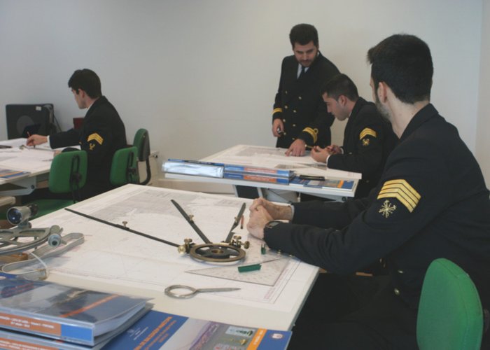
Aula de navegação
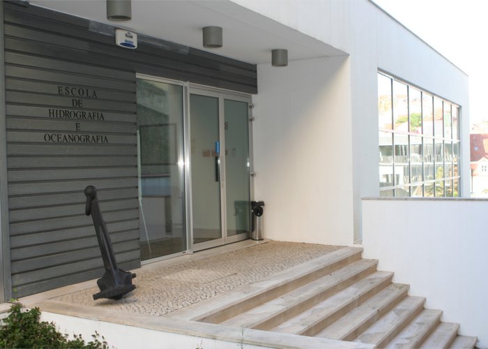
Escola de Hidrografia e Oceanografia
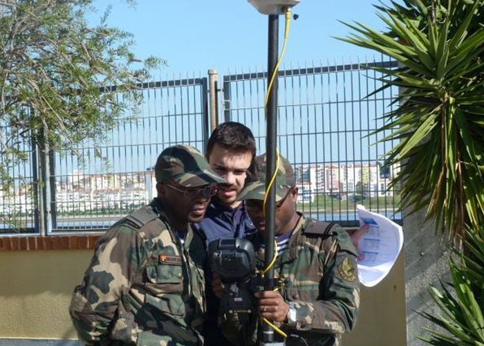
Aula prática - levantamentos geodésicos
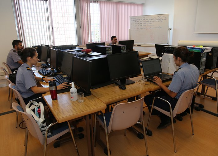
Aula teórica na EHO.
Turma de curso de Categoria A
6
2023-11-08