

Nautical Publications
In accordance with the Safety of Life At Sea Convention (SOLAS), all ships must keep on board, properly updated, the appropriate nautical publications necessary for the planning and visualization of the voyage.
he Hydrographic Institute is the entity that, in Portugal, publishes the Nautical Publications. Here you can find these publications as well as the Nautical Forms and various manuals and regulations related to maritime navigation.
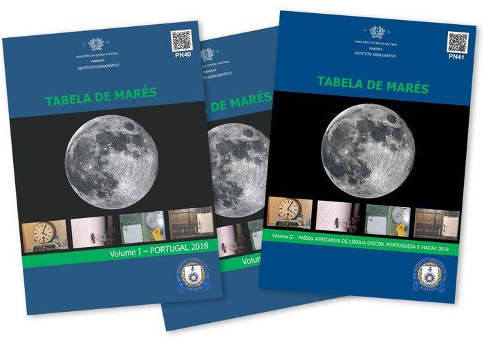
Tide Tables
The Tide Tables are published annually in two volumes, and contain forecasts of official tides for the national territory, as well as for Portuguese-speaking African Countries and Macao.
At present, the Hydrographic Institute hoofers the Tide Tables free of charge from the Data download Tide table section of this portal.
Tide Tables are also available in digital version in CD-ROM format.
You can purchase these publications at the Online Shop.
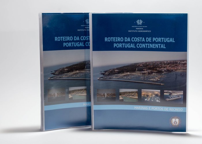
Sailing Directions
The Hydrographic Institute publishes the 7th volumes of Portugal Sailing Directions, which contains supplementary information to the Nautical Charts, in order to provide navigators with detailed and up-to-date information for planning a trip and for navigation, containing diverse information, In particular climatology, legislation applicable to ships in Portuguese ports, hazards, port facilities or maritime rescue, among others.
You can purchase these publications at the Online Shop.
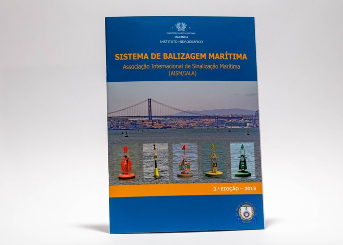
Maritime Buoyage System
Contains the maritime signaling rules of the International Association of Maritime Signaling (AISM) / International Association of Lighthouses Authorities (IALA).
You can purchase these publications at the Online Shop.
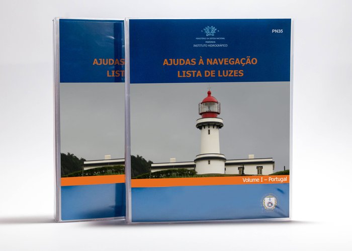
List of Lights and Fog Signals
The Hydrographic Institute publishes the List of Lights and Fog Signals, in three volumes, which contains detailed information on visual and sound navigation aids and on the characteristics, description and range of port and coastal maritime signalling.
You can purchase these publications at the Online Shop.
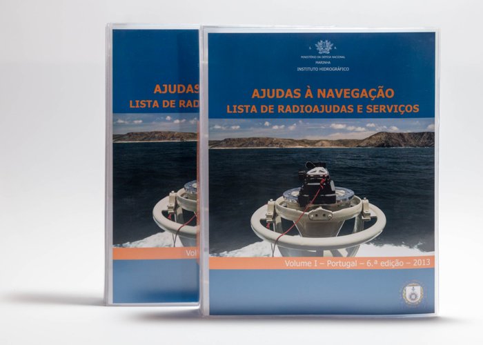
Radio Aids to Navigation
The Hydrographic Institute publishes the List of Aids to Navigation, that contain information available on: coastal radio stations; Radio positioning systems, radio navigational aids and time signals; Maritime safety information; Meteorological observation stations; Global Maritime Distress and Safety System - GMDSS; Port operations and pilotage services; Coastal traffic control services; Navigation systems. The information in Chapter 11 of this Schedule is made available to the public free of charge.
You can purchase these publications at the Online Shop.
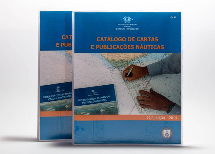
Nautical Charts and Publications Catalogue
The Hydrographic Institute publishes the Catalog of Charts and Nautical Publications that contains the hydrographic cartography and the Nautical Publications of Portugal and the African Countries of Portuguese Official Language, both in force and planned.
You can purchase these publications at the Online Shop.
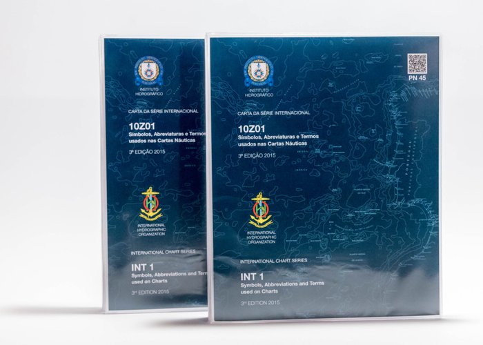
Chart 10Z01 (INT 1) – Symbols and Abbreviations used in Nautical Charts
The Hydrographic Institute edits Chart 10Z01 (INT 1) - Symbols, Abbreviations and Terms Used in Nautical Charts, to decode the graphical representation of the information contained in nautical charts. Contains all symbols, abbreviations and terms used in the Nautical charts, national and international edited by the Hydrographic Institute.
You can purchase these publications at the Online Shop.
Manuals
- International Regulations for Preventing Collisions at Sea (1972) - contains the rules of manoeuvre at sea.
- Manual for Recreational Navigation.
- Maritime Beacon System - contains the AISM / IALA maritime signalling rules.
- Symbols and Abbreviations of Portuguese Nautical Charts, for a better interpretation of nautical charts.
- Manual of Hydrography of the International Hydrographic Organization (IHO) - has as general objective to provide knowledge in concepts related to hydrography and also guidance for the planning and execution of hydrographic surveys. The Handbook is considered a professional guide for hydrographs and a tool for teachers and students of hydrography courses or programs. The Manual of Hydrography is available in Portuguese on the website of the International Hydrographic Organization.
- Manual of Standard S44 - This publication aims to elaborate a set of requirements for the execution of hydrographic surveys of data acquisition for the production of nautical charts that will be used for the purpose of navigation safety and protection of the maritime environment. The S44 Standard Manual is available on the International Hydrographic Organization website.
- Navigation Manual - Consists of a theoretical support for the study of navigation and nautical calculations.
You can purchase these publications at the Online Shop.
Nautical Tables
Collection of Tables (or Tables), which contain data related to arithmetic, geometry, astronomy and geography for special use of the mariner to use in maritime navigation.
This information is available for free download:
- Part I - Coastal and Estimated Navigation Tables;
- Part II - Astronomical Navigation Tables;
- Part III - Auxiliary Tables of Calculation;
- Part IV - Miscellaneous Tables;
- Part V - Weather Tables.
Several Nautical Forms
The Hydrographic Institute produces several nautical forms available for free download:
- 75.30-26-013-6355 Navigation Plotting Abacus;
- Hydrographic Report;
- IH-34 IH-34 Tidal heights Abacus;
- IH-13-1 IH-13-1 Logarithmic Calculus;
- Astronomical Point:
- IH-13-02A IH-13-02A;
- IH-13-04A IH-13-04A;
- IH-13-06A IH-13-06A;
- IH-13-07A IH-13-07A;
- IH-13-08A IH-13-08A;
- IH-13-09 IH-13-09;
- IH-15-01 IH-15-01 Length of Flinders Bar calculator;
- IH-18-01A IH-18-01A Odometer Calibration;
- IH-MN-13 IH-MN-13 Compensation of Magnetic Compass;
- IH-18-5 IH-18-5 Binocular data sheet.
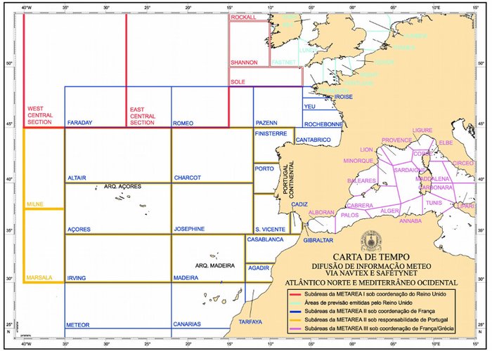
Weather Charts
The Weather Charts below, available for free download, are accompanied by the following explanatory note:
The world is divided into 21 maritime areas of responsibility, called METAREAS, whose coordinating countries are responsible for the diffusion of meteorological information (wind, sea state, etc.). Each METAREA is divided into subareas, smaller areas, where the countries located there are responsible for establishing a coordinated system for the dissemination of meteorological information. This weather information is disseminated via NAVTEX system and via SafetyNET. The Weather charts provided by the IH allow a better interpretation of the areas and subareas of the North Atlantic, North Sea and Western Mediterranean.
- Weather charts - North Atlantic, North Sea and Western Mediterranean;
- Weather charts - North Atlantic Western Mediterranean.
Tide Tables
Sailing Directions
Maritime Buoyage System
List of Lights and Fog Signals
Radio Aids to Navigation
Nautical Charts and Publications Catalogue
Symbols and Abbreviations used in Nautical Charts
Weather Charts
9
2021-12-15