

Operational and Technical Support
The Hydrographic Institute (HI) has the technical competence and the necessary operational means to provide operational support maritime works.
Due to its multidisciplinary nature, HI has the ability to undergo studies that allow the analysis of the bathymetric evolution of the sea bottom, combining the understanding of the wave and current phenomena that will affect the sediment dynamics and determine the pattern of particle accumulation the study area. The IH team can also resort to the use of high-resolution numerical models to monitor the stability and structural safety of maritime-port works.
In this scope IH is capable of:
- Undergo bathymetric and topographic surveys;
- Undergo studies and consulting about maritime safety and signaling;
- Environmental monitoring studies, using a multidisciplinary approach including hydrography, marine geology and geophysics and physical and chemical oceanography;
- Characterize the wave regime in the coastal area adjacent to the study area, using wave buoys, as well as the local tidal a wave regime using the specific instrumentation;
- Characterize the current regime in the surrounding area using acoustic current profilers (ADCP);
- Inspection of maritime structures using remotely operated vehicles (ROV);
- Sea bottom and sub- sea bottom sedimentary layer surveying (sample collection, direct observation and geophysical surveying – side scan sonar, seismic reflection and magnetometry;
- Sediment volumes calculation;
- Support in case of maritime accidents and shipwreck localization;
Final Products:
- High resolution surveying of the work area, complemented with side scan sonar imagery, insuring navigational safety;
- Topographic surveys of port structures and establishment of quoted marks referred to the high precision leveling network;
- Final products derived from high-resolution topo-bathymetry, e.g. digital terrain models, high resolution numerical modelling, graphic representations, georeferenced imagery, beach and harbor structure profiles;
- Dredging operations consulting, namely: bathymetric surveys and operations control, dredging material volume calculation, sample collection and physical-chemical classification according to official dredging material management regulation;
- Geophysical surveys in order to determine bedrock depth and location;
- Maritime signaling studies and consulting;
- Regional and local tidal and wave regime characterization;
- Harmonic constituents calculations and tide prediction to harbor areas;
- Regional and local wave regime correlation studies.
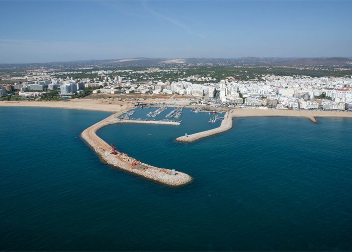
apoio obras maritimas marina

Apoio às obras marítimas

Imagem de sonar lateral - pipeline com estruturas sedimentares.
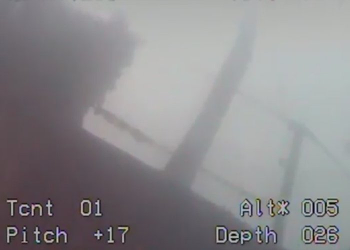
Inspeção de estruturas marítimas utilizando veículos operados remotamente
0
2018-01-03