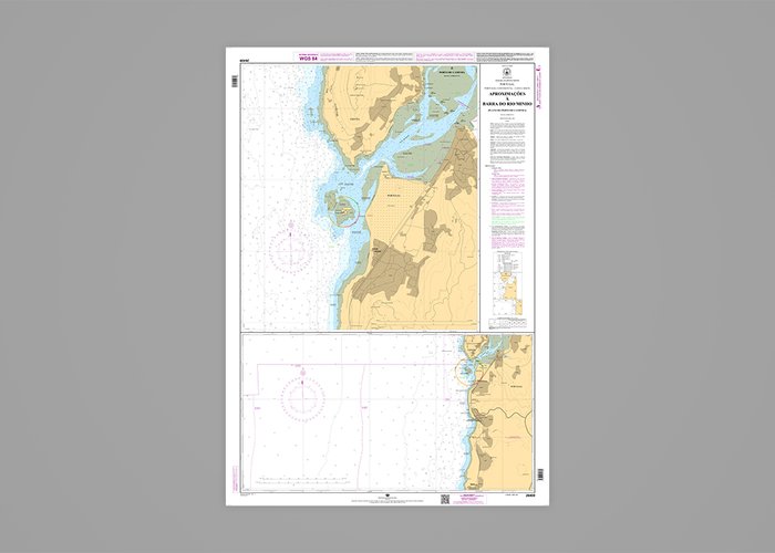
Recently, with the sharing and transfer of information acquired in topo-hydrographic surveys carried out by Portugal and Spain in this area, the 2nd edition of Nautical Chart 26409 “Approaches to Barra do Rio Minho (Porto de Caminha Plan)” was published, by in order to guarantee the uniformity of the cartographic representation in the border areas.It is also important to highlight the works and studies carried out together, with the objective of determining the vertical difference between the two altimetric references for the reduction of the depth values to the Hydrographic Zero.


