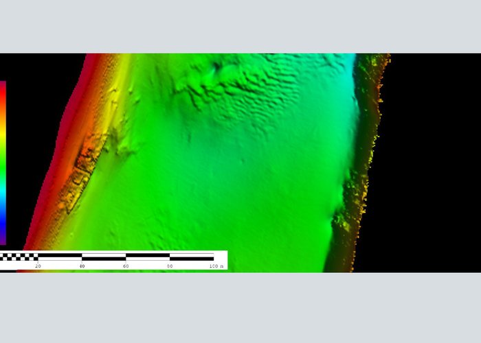
Top-Hydrographic Survey on the Guadiana River
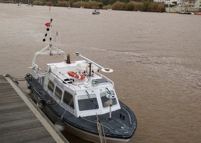
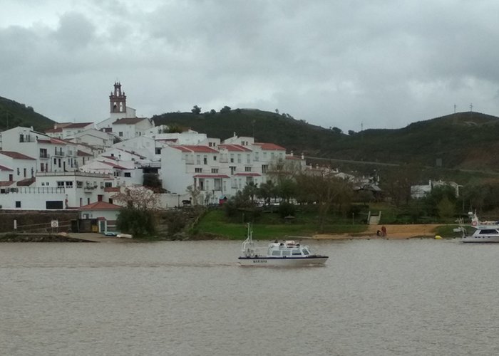
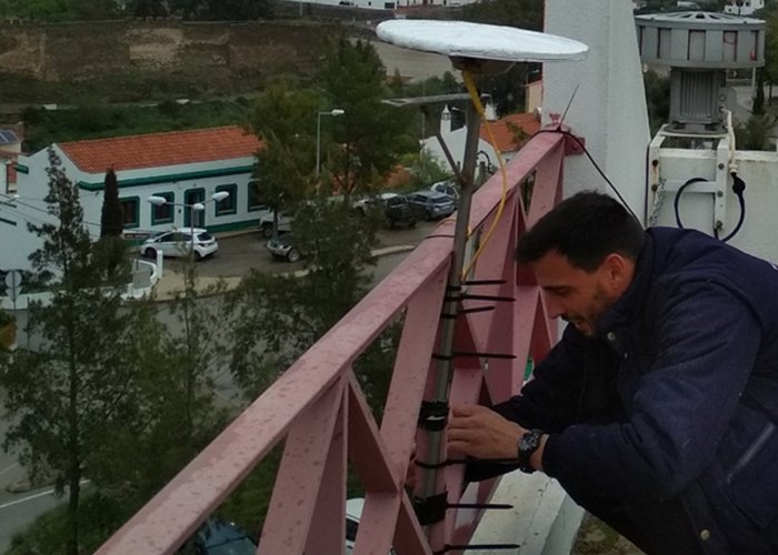
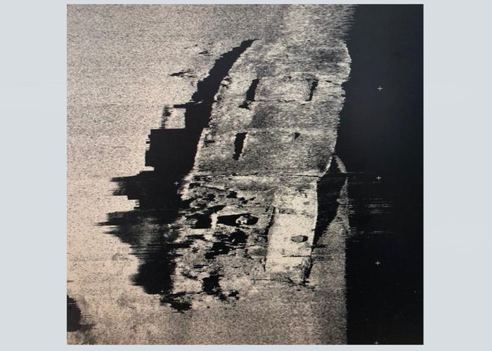
As part of the project "Guadiana: Patrimony Natural Navegável", the Hydrographic Brigade has begun the second phase of the top-hydrographic survey on the Guadiana River, which will run between Alcoutim and Vila Real de Santo António.
This project is part of the Portugal-Spain Operational Program for Cross-Border Cooperation, which includes the Hydrographic Institute, the Directorate General of Natural Resources, Safety and Maritime Services (DGRM), Docapesca - Portos e Lotas, SA and the Public Agency of Ports of Andalusia .
After the hydrographic survey, the physical-chemical characterization of the sediments and the nautical cartography of the Guadiana River will be carried out.


