Topo-hydrographic survey of São Torpes
Did you know that constructions carried out along the coastline can sometimes cause changes to the beaches, increasing erosion or, on the contrary, lead to the natural deposit of sand and an increase in sand?
These phenomena are quite recurrent and, if not properly addressed or foreseen, can lead to serious consequences for the populations that live in coastal areas as well as for the regional economy and living beings present in the ecosystem.
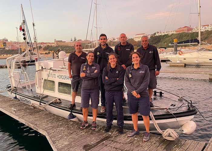
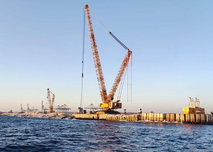
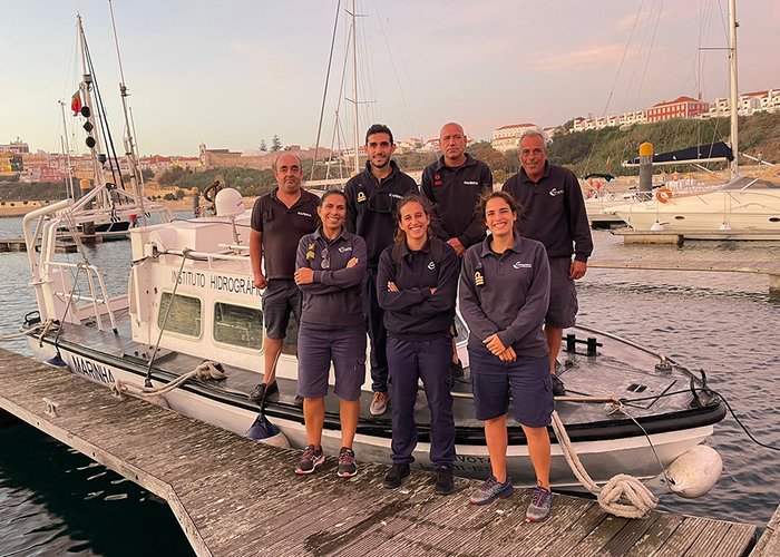
For this reason, a team of 7 soldiers from the Hydrographic Brigade carried out, in collaboration with the administration of the ports of Sines and Algarve, carried out, between the 23rd of September and the 17th of October, a series of works within the scope of monitoring the impact of the works to expand the East Pier at the port of Sines.
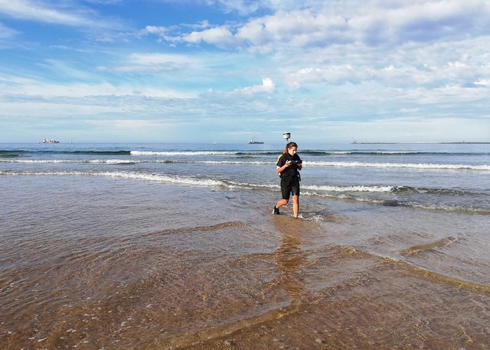
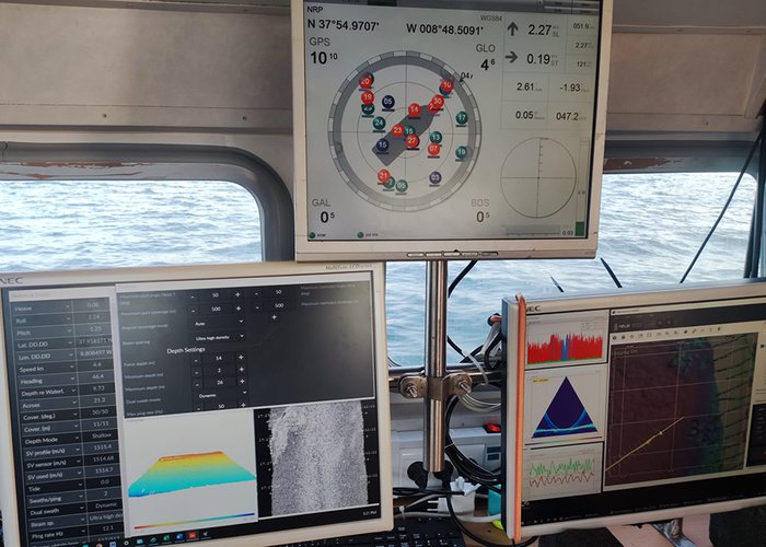
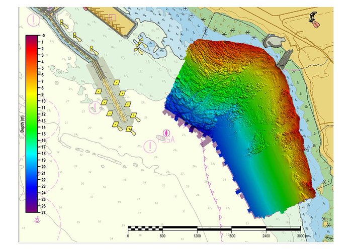
Among the works carried out, the hydrographic survey with a multibeam system, hydrographic survey with a single beam system and topographic survey of the beach of São Torpes stand out. The use of advanced technologies, such as state-of-the-art sounding systems, topographic drones and high-precision positioning systems, made it possible to identify beach changes with high accuracy and reliability.
This type of work allows works of high interest to the national and European economy, such as the expansion of the east jetty and terminal XXI of the port of Sines, to be carried out with due monitoring of the possible impacts on the populations, regional economy and nature preservation.
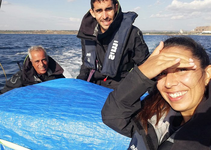
We leave here some images of the works that are in progress and the data collected by our Hydrographic Brigade in this mythical area of the Vicentina coast.


