Hydrographic Institute published two new nautical charts from Cabo Verde
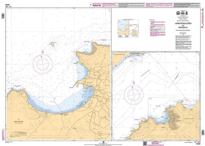
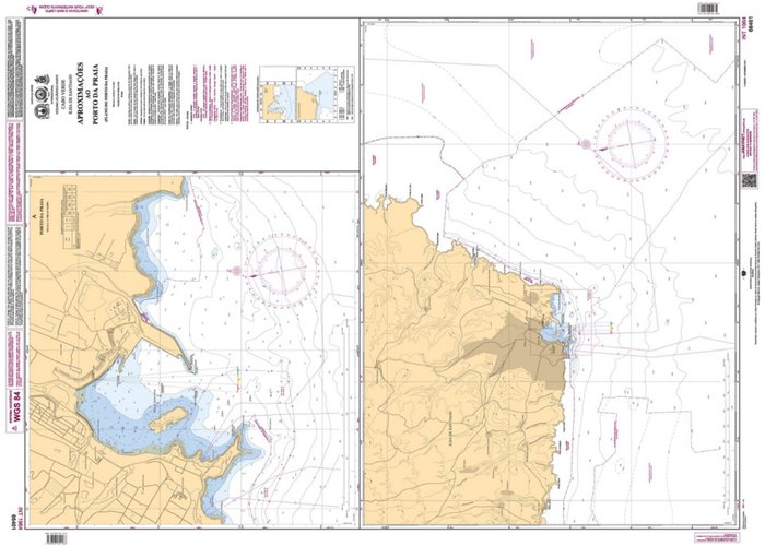
The Hydrographic Institute (HI) published in November two new nautical charts from Cape Verde, the NC 66401 (INT 1964) and the NC 66402 (INT 1965).
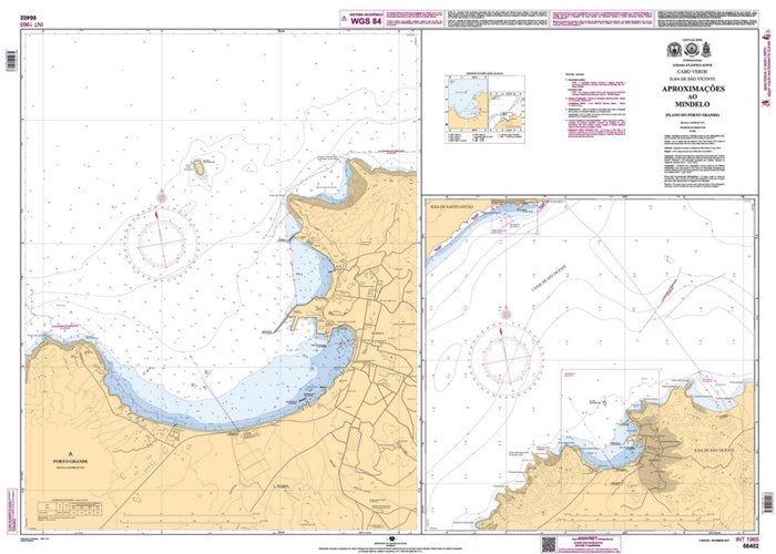
The NC 66401 (INT 1964) comprises the plans of the Port of Praia (at scale 1/7 500) and Approximation to this port (at 1/40 000 scale) and the NC 66402 (INT 1965) comprises the plans of Porto Grande (at scale 1/10 000) and Approximation to this port and the port of Porto Novo (1/40 000 scale).
These nautical charts correspond to New Charts of the International Series and follow up on the international commitments made in the cartographic production between the HI, the Republic of Cape Verde and the IHO, and the compilation of the latest top-hydrographic information available at the HI, namely the top-hydrographic surveys of Order 1a, 1b and 2 carried out by the Hydrographic Brigade and by the Hydrographic Vessel NRP "Alm. Gago Coutinho "(during the Open Sea Initiative). Also included the information provided by the Cabo Verde Maritime and Port Agency (AMP) and the National Institute of Land Management of Cabo Verde (INGT).


