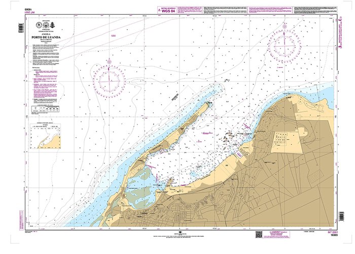
IH publishes new nautical chart of the Port of Luanda
It was recently published the 1st edition of the new Nautical Chart 16303 - "Port of Luanda", which responds to the need to update the nautical cartography of Angolan ports. This new chart cancels chart 360 that had been produced with hydrographic data acquired by the Hydrographic Mission of Angola and S. Tomé between 1967 and 1969.
In the production of the new nautical chart of the port of Luanda, were used hydrographic data acquired by the Hydrographic Brigade in December 2021, as part of the Open Sea Mission (see news https://www.hidrografico.pt/noticia/874).
Both data acquisition and the production of the new chart were carried out in close collaboration with the Angolan National Maritime Agency.
The hydrographic survey for this chart included the participation of a group of hydrographers from the Angolan Navy.


