NRP "Almirante Gago Coutinho" Hydrographic Campaign in the Autonomous Region of the Azores in 2018
The Navy, through the Hydrographic Institute, is in the Autonomous Region of the Azores to carry out top-hydrographic surveys, within the scope of the Portuguese Sea Mapping Project, whose main objective is to contribute to the knowledge of the seabed, necessary for the promotion of activities of technical-scientific and economic development in the areas of national interest and the corresponding cartographic update.
In this campaign, which began on May 4 and will continue until June 24, collaboration with regional entities is duly framed by the Protocol of Cooperation signed in 2017 between the Hydrographic Institute and the Regional Secretariat for the Sea, Science and Technology of the Azores, with the aim of promoting and promoting, in a collaborative way, research and knowledge of the sea in the Azores.
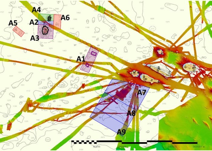
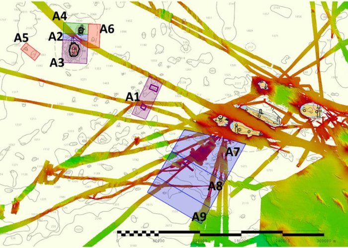
The works, initially during the month of May, will focus on the hydrographic surveys of the Giant's bank between the island of Faial and the island of Flores, but also around the islands of Flores and Corvo, where currently there is a great lack of information on high resolution seabed. Throughout the mission there will be a regular presence on board of researchers from the universities and research institutes of the Azores, with a collaborative perspective and sharing of information acquired.
The Navy and Hydrographic Institute will collaborate with the Blue Ocean Foundation, EMEPC, National Geographic and scientific institutions of the Autonomous Region of the Azores in the period from June 3 to 24, and after the basic hydrographic characterization, collaborative research work on the Azores, which includes a documentary and several dives of the RUS LUSO, which is already aboard the NRP "Almirante Gago Coutinho".


