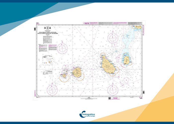
Cape Verde: Publication of the 1st Edition of Nautical Chart 63203 (INT 1963)
The 1st Edition of Nautical Chart 63203 (INT 1963) - 1st Edition May 2024 “Brava, Fogo, Santiago, Maio Islands and Ilhéus Secos or Rombo” has recently been published.
This chart addresses the cartographic representation needs identified for the Cartographic Folio of the Republic of Cape Verde, as well as the INT Folio needs identified by the International Hydrographic Organization.
In compiling this nautical chart, the most recent bathymetric information available at this Institute was used, highlighting the data acquired during hydrographic surveys conducted in 2020 and 2021 under the "Mar Aberto" initiative and the agreed commitments. Additionally, bathymetric data acquired during Scientific Cruises also contributed to the compilation of this chart.


